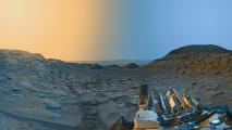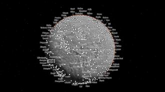
Using 110,000 images from NASA’s Mars Reconnaissance Orbiter (MRO), researchers at Caltech have created an interactive map of Mars that lets anyone explore the surface of the Red Planet in unprecedented detail.
“For 17 years, MRO has been revealing Mars to us as no one had seen it before,” said Rich Zurek, leader of the MRO project at NASA’s Jet Propulsion Laboratory. “This mosaic is a wonderful new way to explore some of the imagery that we’ve collected.”
“The goal is to lower the barriers for people who are interested in exploring Mars.”
Jay Dickson
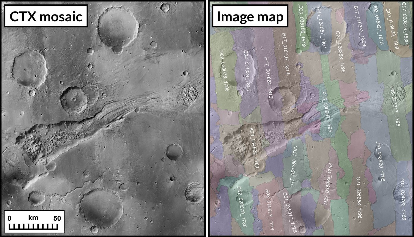
The upgrade: To create the NASA-funded map, the Caltech team downloaded images from MRO’s Context Camera (CTX) and then developed an algorithm capable of matching images based on the features in them — the process was similar to putting together a jigsaw puzzle.
“This is nondestructive processing,” said project leader Jay Dickson. “We’re not blurring lines to smooth out boundaries; we’re finding the best possible line to join two images.”
While the algorithm was able to handle most of the 110,000 CTX images, about 13,000 had to be stitched together manually — that painstaking process was completed over the course of three years.
The finished product, formally known as the Global CTX Mosaic of Mars, covers 99.5% of the surface of Mars, and each of its 5.7 trillion pixels corresponds to 25 square meters of land.
While there are more detailed maps of parts of the Red Planet, the highest-resolution global map of Mars prior to this one was at a scale of 10,000 square meters per pixel — that means this is a 20-fold increase in resolution.
If you were to print out the new map at 300 dpi — the standard resolution for printing — it would be big enough to cover the entire Rose Bowl stadium in California, according to Caltech.
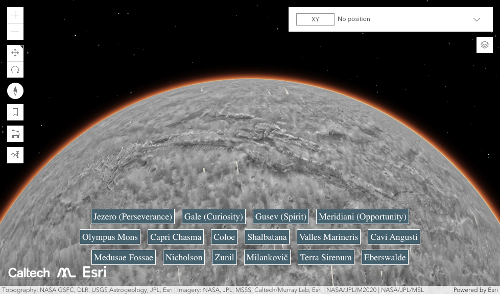
On the map: Anyone visiting the interactive map can choose to scroll across the surface of Mars, zooming in on whatever features catch their eye, or they can click on links that will take them to notable features, such as Olympus Mons or the locations of NASA’s Mars rovers.
In addition to providing entertainment, the new map of Mars is also useful for science — a beta version released in 2018 has been cited in more than 100 peer-reviewed scientific papers.
“I wanted something that would be accessible to everyone,” said Dickson. “Schoolchildren can use this now. My mother, who just turned 78, can use this now. The goal is to lower the barriers for people who are interested in exploring Mars.”
We’d love to hear from you! If you have a comment about this article or if you have a tip for a future Freethink story, please email us at tips@freethink.com.